🧭 Pace Beads: Precision with Every Step
It doesn’t get more old-school than pace count beads — but they’re one of the most underrated tools in advanced nav. As you walk, you slide a bead down every 100 meters (or however you've calibrated it to your stride). This lets you track distance on the move, especially when GPS batteries die or terrain gets tricky. Combine that with terrain association and a topo map, and you’ve got tight control over your location.
⛰️ Altimeters: Your Vertical Reference Point
Altimeters measure elevation — and when paired with a contour map, they’re powerful tools. If you’re unsure of your precise horizontal location, elevation can help you identify which slope, valley, or ridge you’re on. Even basic analog altimeters (or built-in ones in a GPS or watch) can give you that missing piece of data to confirm your position.
📡 GPS Devices: Trust but Verify
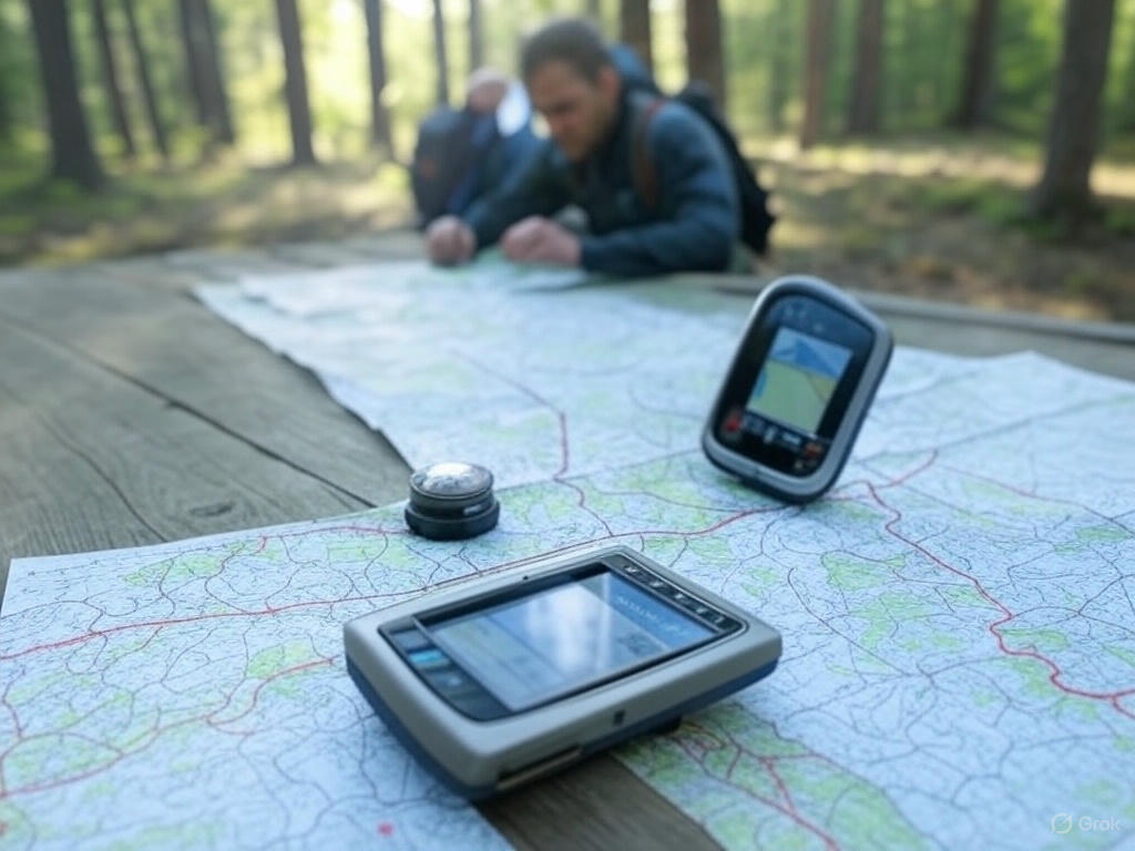
We like to think of GPS as a backup — not the foundation. Tools like the Garmin inReach, GPSMAP series, or even a rugged handheld from Suunto or Garmin Foretrex can help verify your position, mark checkpoints, or communicate in emergencies. They’re great for confirming what you already believe from your map work, or for sending out a lifeline when everything else goes wrong. But if the batteries fail? You’d better have your compass and map skills locked in.
📱 Navigation Apps: Useful, but Don’t Get Too Comfortable
There are some good mobile tools out there — we’re not denying it. But if your nav plan depends on perfect cell service or a fragile screen, you're asking for trouble. Apps like Gaia, CalTopo, or Avenza can help during planning or backup nav, but they should never be your primary method in rugged terrain.
Advanced Techniques to Master
-
Dead Reckoning with Adjusted Intervals: Once you’ve nailed the basics, refine your estimate intervals. Break terrain into 100-meter or 250-meter chunks, log every change, and course-correct with precision.
-
Terrain Confirmation via Handrails & Catch Features: Advanced navigators are constantly comparing their environment to the map. Rivers, ridgelines, roads, cliffs — use them as boundaries that confirm your position.
-
Boxing Around Obstacles: Don’t try to brute-force your way through tough terrain. Use right-angle movements to skirt obstacles while keeping your bearings.
Gear That Works With You — Not Against You
When you’re balancing a compass, altimeter, and GPS — or reaching for a radio or flare — the last thing you want to do is drop your pack. That’s why we run our Squatch chest packs, specifically built to hold your Fuel Box solar charger, maps, tools, or signaling devices. It’s fast access to mission-critical gear, without slowing you down.
🧠 The Big Takeaway
Advanced land navigation isn’t just about gear — it’s about confidence, calm decision-making, and layering tools together. Traditional navigation forms the core, but technology adds speed, flexibility, and a safety net.
Whether you're moving through thick jungle, dry highland, or urban sprawl — the right techniques and tools can keep you on course and in control.
And when the sun dips low and the map feels like your last connection to civilization, you’ll be glad you learned how to read it, track it, and trust yourself.
Want to train smarter and move faster?
Check out our [Fuel Box] and our rugged [chest packs] — designed for people who go beyond the basics.

